| Miles Kms | Item | Summary |
|---|---|---|
| 0.0 0.0 |
Photo - Kansas Welcome highway sign  |
Welcome to Kansas.
Kansas Points of Interest: Amelia Earhart Birthplace Museum,
Brown v. Board of Education National Historic Site,
Cimarron National Grassland,
Fort Larned National Historic Site,
Fort Scott National Historic Site,
Garden of Eden,
Kansas State Capitol,
Martin and Osa Johnson Safari Museum,
Prairie Museum of Art & History,
Prairie Rose Chuckwagon Supper,
Stauth Memorial Museum,
Tallgrass Prairie National Preserve,
World's Largest Ball of Twine.
|
| 0.0 0.0 |
View from highway  |
I70 is part of Dwight D. Eisenhower Interstate System. |
| 0.4 0.6 |
 |
View from highway. |
| 4.8 7.8 |
 |
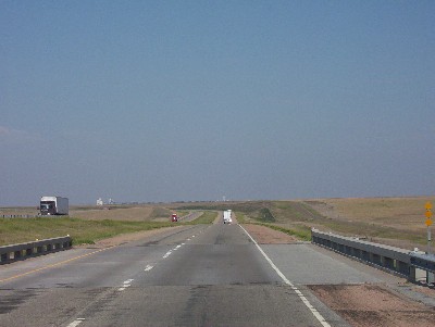
View from highway driving West. |
| 9.3 14.9 |
Exit #36 |
Junction of Highway #184. Access to communities of Leoti, Kansas. Brewster, Kansas. Services at highway. |
| 10.4 16.8 |
Sherman County Line |
Eastern boundary. Note: West bound traffic to set clocks 1 hr back; East bound traffic to set clocks 1 hr ahead. |
| 18.1 29.2 |
View from highway - Photo - Edson highway sign  |
Exit #27. Junction of Highway #253. Access to community of Edson, Kansas. |
| 26.2 42.2 |
View from highway - Photo - Goodland highway sign  |
Exit #19. Access to Business Route #24. City of Goodland, Kansas. Access to High Plains Museum. Also access to campgrounds, fuel, diesel - off highway. |
| 28.2 45.4 |
View from highway - Photo - Goodland welcome highway sign  |
Welcome to Goodland, Kansas. |
| 28.2 45.4 |
Exit #17 |
Access to Junction of Business Route #24 and Highway #27. Access to Sharon Springs, Kansas - South side of highway. Access to campgrounds - South side of highway. South access to Sherman State Fishing Lake recreation area. North access to St Francis Sandpits St. Fishing Lake.
|
| 33.1 53.2 |
Exit #12 |
Junction of County Roadway #14. |
| 33.6 54.0 |
Point of Information |
Crossing South Fork Beaver Creek. |
| 35.8 57.6 |
Exit #9 |
Junction of Roadway #11. Access to community of Ruleton, Kansas - 1 mile North. No services available. |
| 35.9 57.8 |
 |
View from highway driving West. |
| 37.3 60.0 |
Access to state rest area |
South side of highway, for East bound traffic. |
| 38.0 61.1 |
 |
State rest area with washrooms - North side of highway for West bound traffic. Note: I70 is also part of Dwight D. Eisenhower Interstate System. |
| 43.5 70.0 |
View from Highway |
Cattle country. |
| 43.7 70.3 |
Point of Information |
Crossing Middle Fork Beaver Creek. |
| 43.9 70.7 |
Exit #1 Photo - Kanorado Highway sign  |
Junction of Highway #267. Community of Kanorado, Kansas. |
| 44.9 72.2 |
Access to Truck Weigh Station |
South side of highway. |
| 45.3 72.9 |
View from highway - Photo - Colorado welcome highway sign |
Kansas/Colorado State Line. Welcome to colorful Colorado. |
| 45.3 72.9 |
View from highway - Photo - Kansas highway sign  |
Photo leaving state of Kansas. Start/finish of highway travel guide. West access to city of Burlington, Colorado - 13 miles. - Se |